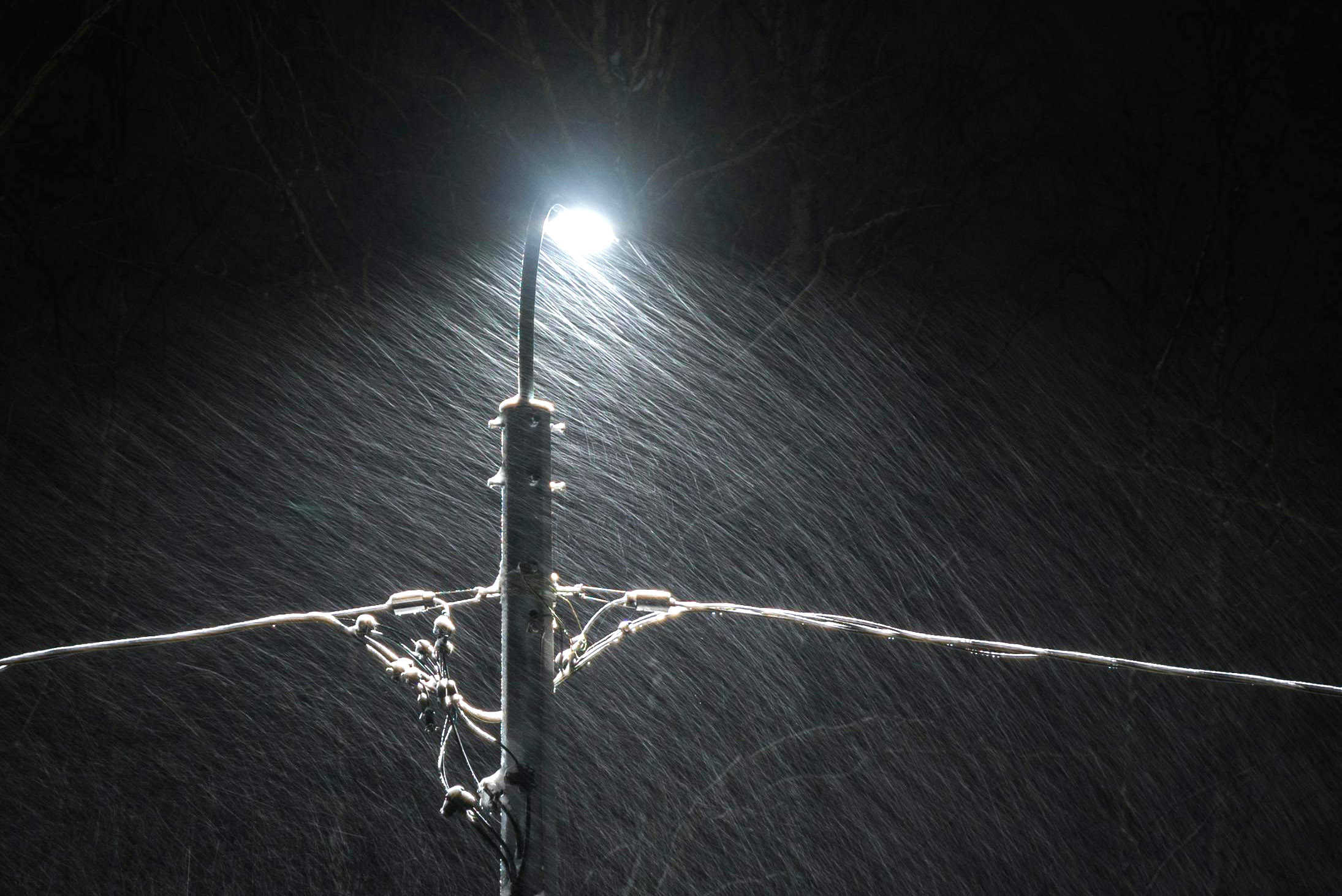
Heavy snowfall expected with 70km winds in southern Ontario
Published February 15, 2024 at 5:15 am

There will be a short duration of heavy snowfall expected today (Feb. 15).
There will be reduced visibility in heavy snow. The largest dump of snow will be Thursday afternoon, according to Environment and Climate Change Canada.
An area of heavy snow will push through the region during the afternoon today. The majority of snowfall accumulations may fall within just a couple of hours due to high snowfall rates.
In the areas of Mississauga, Brampton, Milton, Halton Hill, Caledon, and Durham Region you will see
total snowfall accumulations of five to 10 centimetres. Peak snowfall rates will be of two to four centimetres per hour.
In the areas of Toronto, Burlington, Oakville, Hamilton and Niagara Region you will see:
Total snowfall accumulations near five centimetres. Peak snowfall rates will be of two to three cm per hour.
Snow will taper to lake effect flurries this evening, particularly for areas north and west of the GTA.
Strong northwesterly winds gusting up to 70 km/h are expected this evening and overnight after the main area of heavy snow has moved through.
The combination of these strong winds and the preceding fresh snowfall may lead to localized reduced visibility in blowing snow in rural areas.
Travel may be hazardous due to sudden changes in the weather. Visibility may be suddenly reduced at times in heavy snow. There may be a significant impact on rush hour traffic in urban areas.
Be prepared to adjust your driving to changing road conditions.
INsauga's Editorial Standards and Policies

