Heavy rainfall increases flash flooding risk in Mississauga
Published August 8, 2022 at 7:01 pm
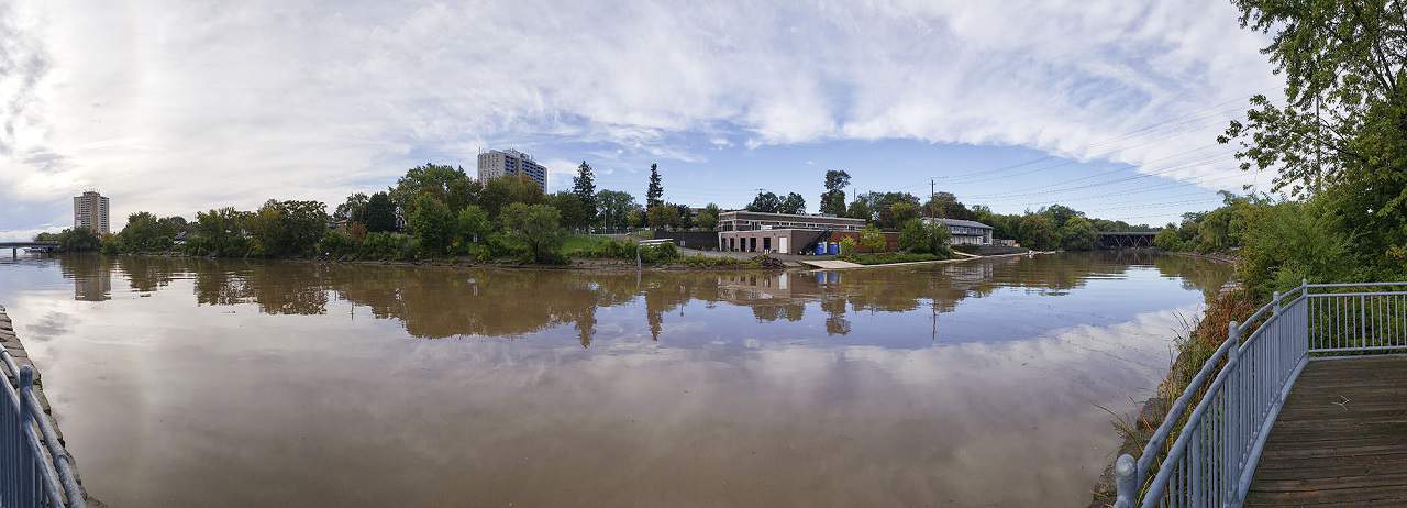
A severe thunderstorm watch for the northern part of the Credit River (Erin area) increases the risk flash flooding along the river.
Credit Valley Conservation (CVC) warned that torrential rainfall of more than 50 mm is possible Monday (Aug. 8) evening in the Erin area.
While no flooding of the Credit River and its major tributaries is expected, there is a possibility of localized flash floods and water pooling on the roads and in flood-prone and low-lying urban areas, CVC said in a statement.
“Streams and other waterways could become hazardous due to slippery and unstable banks, and from high water levels and fast-moving water,” CVC said.
Streams and rivers may be dangerous, especially near culverts, bridges, and dams.
“People are warned to stay away from all watercourses and to keep children and pets away,” CVC said.
Meanwhile, the City of Mississauga advised people to stay away from all watercourses and to keep an eye on pets and children.
“The weather is expected to be unpredictable today,” the city said in a tweet.
People can call 311 to report flooding.
INsauga's Editorial Standards and PoliciesThe weather is expected to be unpredictable today🌧️⁰⁰⚠️A Flood Outlook is in effect for Mississauga.⁰⁰Remember, please:⁰🚫 stay away from all watercourses⁰⛔️ avoid stormwater ponds, culverts, streams & rivers⁰👀 keep an eye on children & pets⁰📞call 311 to report flooding pic.twitter.com/6cLbLkK3Px
— City of Mississauga (@citymississauga) August 8, 2022