5 walks to see fall colours in Mississauga
Published October 11, 2024 at 2:53 pm
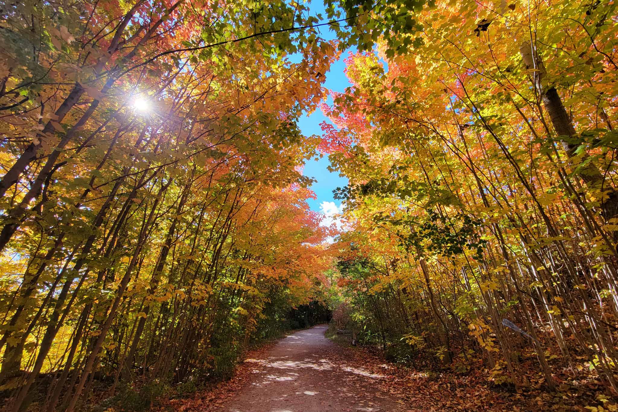
Fall has arrived and it’s a great time to get out for a walk in Mississauga.
The leaves have started to change colour in many areas and should reach peak in southern Ontario in the coming weeks.
Typically, leaves start to change in September in the Muskoka area, and a little bit later in areas around the GTA.
There is no need to travel far to see fall colours, Mississauga, Brampton and the surrounding area have plenty of good options.
Here are five trails to see autumn colours in Mississauga:
David J. Culham Trail
This multi-use trail extends 13.2 kilometres and includes natural and urban settings. AllTrails describes it as “one of the best kept nature secrets in the heart of Mississauga.”
It is known as one of the best trails to see vibrant fall colours along the Credit River. As an added bonus, hikers could spot Chinook salmon on their annual push up river to spawn.
The trail can be accessed from Erindale Park, at Dundas Street West, just east of Mississauga Road. It is in two sections: Dundas Street to Mississauga Road (Streetsville) and Church Street to Velebit Court with links to the University of Toronto Mississauga, Erindale Park, Streetsville Memorial Park and Riverwood Community Centre.
Sawmill Valley Trail
This 9.2-kilometre trail also starts at Erindale Park. It begins by crossing the Credit River and following Sawmill Creek, according to AllTrails. This trail has a gradual incline but is generally considered easy. It follows a wide path that is a mix of paved, wooden boardwalks and packed dirt paths.
This area is known for its beautiful trees and quiet river. It’s also known for birding so it may be a good spot to return to in the spring.

Etobicoke Creek Trail
Those looking for a challenge, this trail now extends through Mississauga to Brampton and Caledon. At 34.5 kilometres long, hikers may choose to just do segments of this trail. There are parts where walkers or cyclists must get off the trail and cross roadways. Following the creek, the trail goes through parks, urban forests and wildflower fields.
Mississauga residents can access the trail off Burnhamthorpe Road in Garnetwood Park, 4070 Ponytrail Dr.
Cooksville Creek Trail
This eight-kilometre out-and-back trail is generally considered an easy route, according to AllTrails. The route winds through beautiful, forested areas along Cooksville Creek. It is a combination of paved trail, gravel trail and road connections leading all the way south to Lakeshore Road and the Waterfront Trail.
From Shipp Drive south of Rathburn Road you will find the trailhead behind the first office building.
Rattray Marsh Trails
The Rattray Marsh is spectacular any time of year but the forested trails in the conservation area are breathtaking in the fall. There are five short trails to choose from, all are rated easy or moderate. The Sheridan Creek Trail takes hikers through old-growth forest — a great chance to see fall foliage. For more on the trails, see the Credit Valley Conservation Area website here.
The Rattray Marsh trails can be accessed from Jack Darling Memorial Park, 1180 Lakeshore Rd.
As of early October, the trail access from Silver Birch was closed to the public.
Photos: City of Mississauga
INsauga's Editorial Standards and Policies