5 Places in Mississauga That Will Look Different in 20 Years
Published April 29, 2017 at 1:34 am
It’s an exciting time to live in Mississauga. It’s evolving one-time bedroom community (which is the most fun GTA suburb to spell, no?!) in which you can depart for a year and return, finding things look the same, minus the addition of big-box plazas and random condos near malls. (Has anyone been up Winston Churchill Blvd, near Erin Mills Town Centre lately? Every time I drive up, it seems there’s something new).
Speaking of condos near malls, the city is in for an extreme makeover over the coming years, and may only slightly resemble the Sauga we know and love … kind of like your little cousin who grew facial hair over the span of three weeks, now towers over you, and could snap you in half with one hand.
Here are five places that will look very, very different in 20 or so years.
M City Land
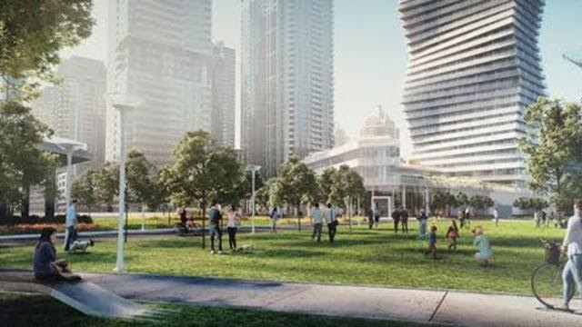
The city’s skyline will be transformed to the point where some may ask, “Marilyn who?” This $1.5 billion massive condo community via Rogers will see 10 residential towers and a public park near Square One. The 15-acre, 4.3 million sq. ft. community with more than two acres of public parkland in the downtown core will be a little city within the city. Inspired by the Downtown21 master plan, Rogers Real Estate Development Limited launched M City as the first major residential condominium development by the Rogers family. Defining the western edge of downtown, the walkable, sustainable mixed-use community’s flagship 60-storey building would be the tallest in Mississauga, at Burnhamthorpe Rd. and Confederation Pkwy. It will offer a rooftop skating rink, chef’s kitchen, and splash pad, among other luxurious amenities. Oh you fancy, huh?
Port Credit’s Imperial Oil Lands
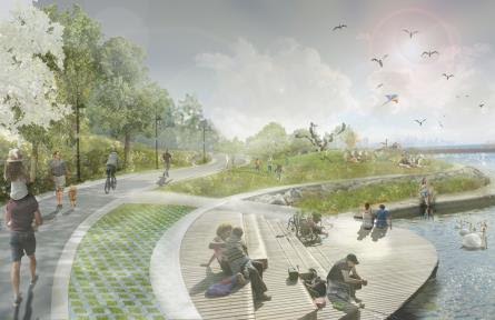
Major change is in store for this 73-acre parcel of land on the shores of Lake Ontario – also known as the former Texaco lands at 70 Mississauga Road South – following last December’s agreement of purchase and sale with Port Credit West Village Partners Inc.
The deal has been firmed up; proposed developments on the brownfield site include condos, townhouses, affordable housing, shops, businesses, a community centre, a beach, a town square and waterfront parkland. It will essentially be a posh, modern little village within the town, where residents will be able to live and work in the city with easy access to transit. But will it still have a small-town feel?
Lakeview Waterfront Connection & Inspiration Lakeview
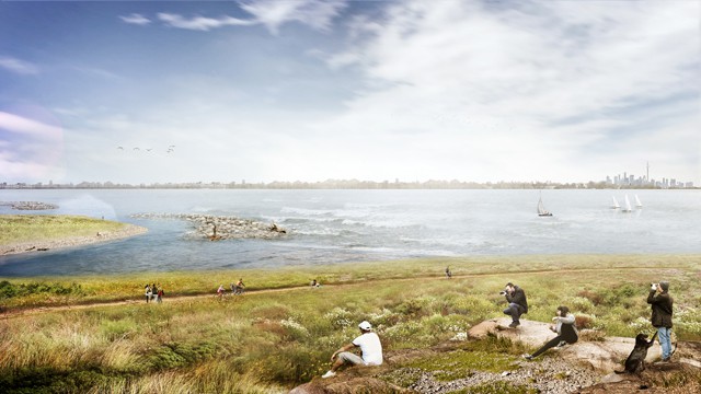
Kids will be flying kites and cyclists will be riding to their hearts’ content and the 9.5 km shoreline will be splendid.
It’s predicted to take seven to 10 years to build the 64-acre conservation area. It will include natural meadows, coastal forest, coastal wetlands, estuarine habitat, treed swamp, and island habitat for shore birds.Connecting Marie Curtis Park to the future Inspiration Lakeview lands next to the G.E. Booth Waste Water Treatment Plant, the Inspiration project is expected to house 8,000 residential units.
Roughly 250-acres of industrial land will be transformed into a sustainable mixed-use community. What’s in store? Boardwalks, cafes, sitting areas to maximize the view of the lake, boutiques, and more.
Unlike Toronto, there won’t be highrise condos obstructing views of Lake Ontario. A creative hub in the old Small Arms Building will provide a local nucleus for environmental sciences, arts, technology, and culture.
Dundas Corridor
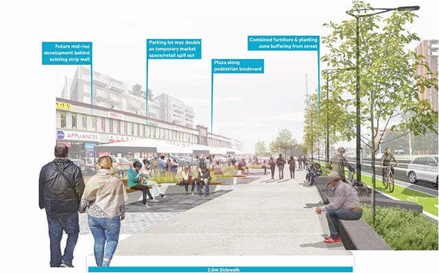
The future of Dundas Street is expected to be ultra chic once the Dundas Connects project is complete. The 17 km stretch within Mississauga runs from Oakville to Etobicoke, currently boasting shops, businesses, parks, schools, and churches. What’s likely in store: a mix of building types, more parks and open spaces, and smaller blocks. Bus Rapid Transit (BRT) will be the recommended transportation mode across the entire Dundas corridor, with two lanes for cars in each direction. And what screams ‘big city’ like dedicated bike lanes?
Britannia Farms
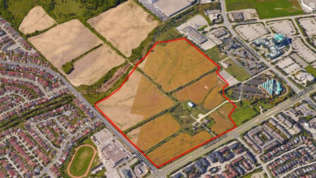
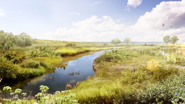
There are so many ideas for this 200-acre site bounded by Hurontario St., Matheson Blvd., McLaughlin Rd and Bristol Rd. Call it School 3.0 — an outdoor gathering place, or community lawn, would host fairs or picnics, while a wetland restoration could serve as a laboratory. Trails looping around the entire site may even change by season; a new field centre is also on the table. The site has been owned by the Peel board since 1833. Visitors will eventually be able to ride light rail then go back in time at the farm.
