
Snow in the forecast for some parts of Ontario
Published April 20, 2024 at 2:53 pm
Some parts of Ontario will be seeing the return of wintry weather today.
According to Environment Canada, strong wind gusts moving between 60 and 80 km/h will blow snow over parts of northern Ontario this afternoon.
Scattered flurries are expected to transition into showers by late afternoon moving across southern Ontario, impacting areas including Mississauga, Brampton, Halton, Hamilton, and Durham and extending to the Nickel Belt region.
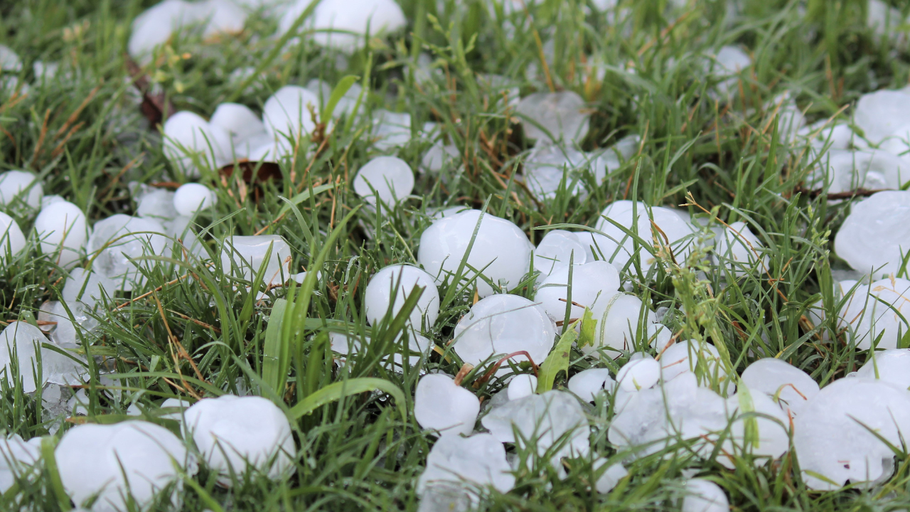
Environment Canada also reports that certain regions in southern Ontario have recently experienced graupel showers. This phenomenon occurs when supercooled water droplets attach to snowflakes, forming small, soft, and generally opaque ice pellets.
Additionally, graupel is softer and less dense than hail, which forms through repeated upward and downward motion in strong thunderstorm updrafts and consists of layered ice. Graupel also does not cause the same level of damage as hail.
Light snow flurries in northeastern Ontario are set to taper off by early evening. However, a more intense band of flurries is anticipated to sweep across the region overnight and persist into Sunday morning. The amount of snow accumulation is unknown at this time.
Videos


insauga's Editorial Standards and Policies advertisingWeather story for today 👀
Scattered flurries ❄️ will change to 🌦️ showers by this afternoon across parts of southern Ontario and the Nickel Belt.
Flurries in NE Ontario will taper by early evening, before a band of heavier flurries sweep through overnight ➡️ morning.#ONwx pic.twitter.com/dY7biXWw0S
— ECCC Weather Ontario (@ECCCWeatherON) April 20, 2024